Walking in The Great Trossachs Forest
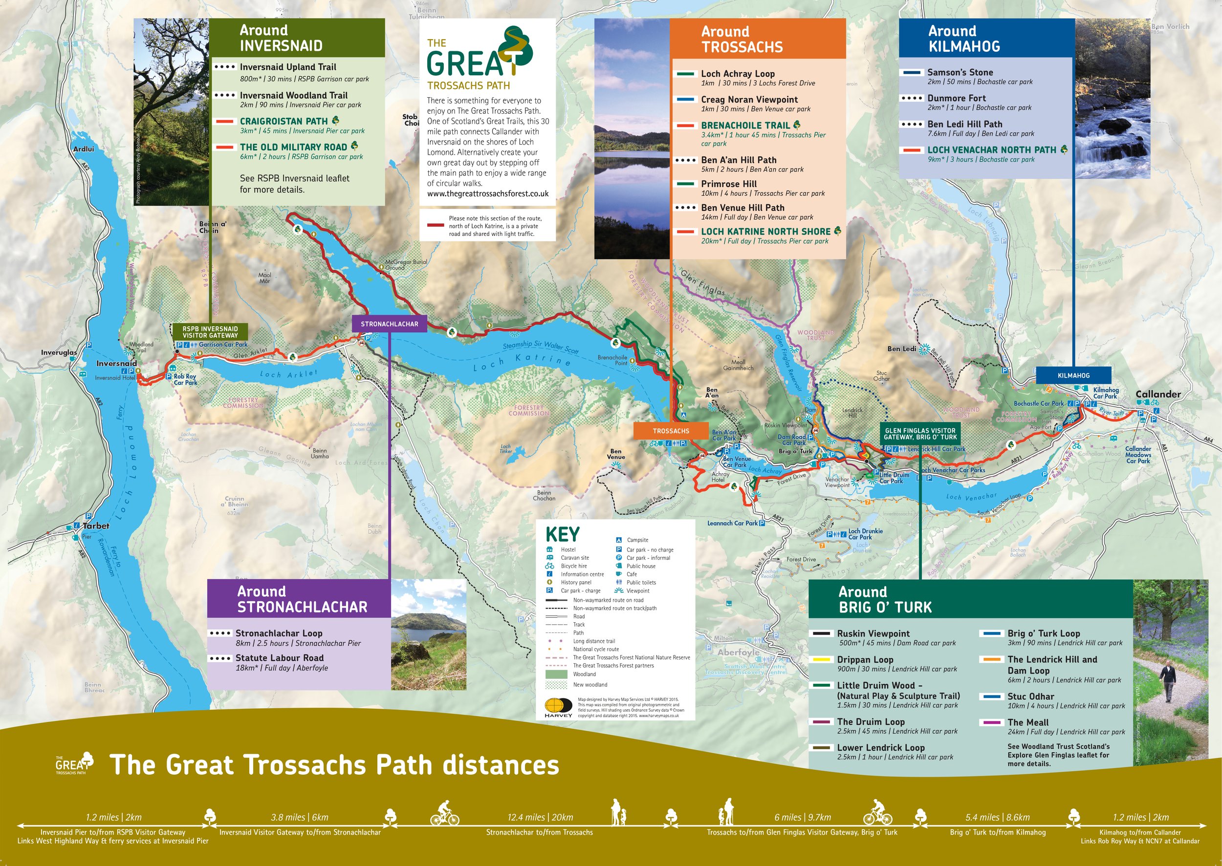
Spurring from The Great Trossachs Path are 165 km of short, long, and circular routes of various lengths and challenges. There is something to suit everyone, and each has its own unique character and appeal. Spectacular views await those that hike up Ben Venue, the Natural Play Trail in Little Druim Wood has activities for the young adventurer, and all the walks get you closer to nature in a setting renowned for local legend Rob Roy and the many great literary figures that have been inspired by this magical place.
Be Prepared - Be Responsible - Be Safe
Check the weather before you go. There are many excellent weather forecasts available, including the Met Office and Mountain Weather Information Service.
Ensure you take appropriate footwear, waterproof clothing (the forecast may be wrong), suncream, hat and gloves, food, water, phone, first aid kit, insect repellent, and personal medication.
If hill walking or exploring off the beaten track, make sure you have appropriate clothing and kit.
Check yourself for ticks. Tick bites can cause Lyme disease.
Tell friends and family staying at home where you are going and what time you expect to return.
Mobile phone coverage may be poor. In an emergency, and there is reception, telephone the emergency services on 999. If you are unable to make voice calls, you can contact the 999 emergency services by SMS text from your mobile phone. You do need to register for this in advance.
Keep away from livestock, leave gates as you find them, and keep your dog under close control.
Respect the interests of other people, care for the environment, and take responsibility for your own actions.
Take only pictures, leave only footprints.
Find out more information on access and wild camping in The Great Trossachs Forest on the Access Information page.
Amazing Walking Routes in The Great Trossachs Forest
Explore the wide range of walking opportunities available. Those showing (T) are on The Great Trossachs Path.
Please note all walk distances and times are one way (indicated with a *) unless they are circular walks.
Walking Around Inversnaid and Stronachlachar
Stronachlachar Loop
8 km/2.5 hours/Stronachlachar Pier
This unmarked circular walk takes you on a Victorian engineering adventure as you follow the route of Glasgow’s water supply which leaves Loch Katrine in underground tunnels. Follow the ventilation shafts up the grassy track for an amazing spectacle.
Inversnaid Upland Trail
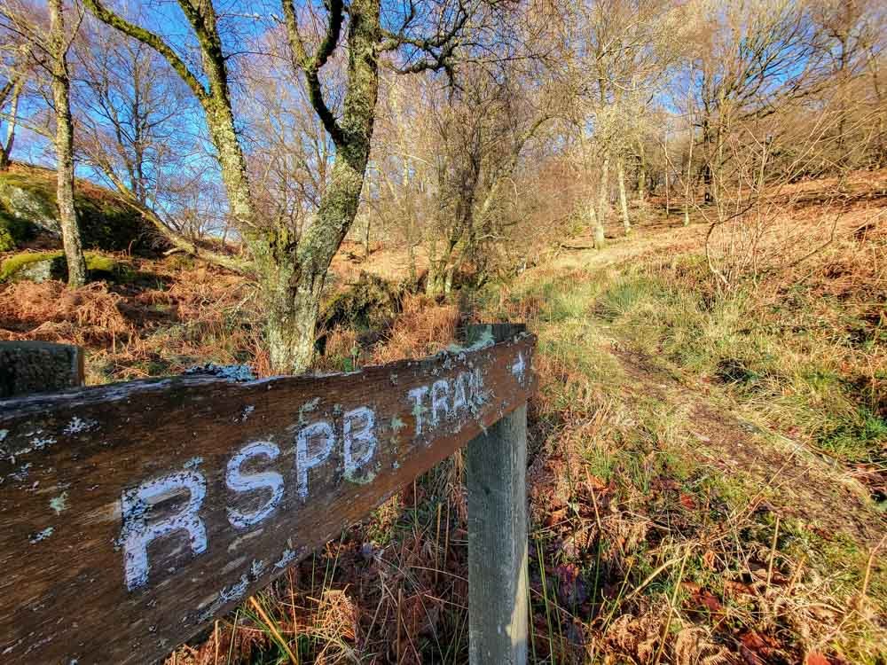
800 m*/30 mins/RSPB Garrison car park
To immerse yourself in this remote landscape follow this gentle uphill walk to a restored sheep fank (an excellent picnic spot). Please keep your dog on a lead as there may be livestock.
Inversnaid Woodland Trail
2 km/90 mins/Inversnaid Pier car park
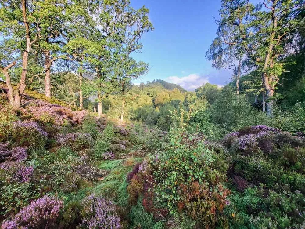
This ancient woodland is alive with wild flowers, summer migrant birds and fantastic fungi in autumn. Climb the steps for a stunning view over Loch Lomond.
The Old Military Road (T)
6 km/2 hours/RSPB Garrison car park
As you follow this undulating path along the open hill in Glen Arklet, imagine you were patrolling this route as part of the Government forces in the 1700s keeping the rebels in check. This historic old path has been restored for you to enjoy today.
Craigroistan Path (T)
3 km*/45 mins/Inversnaid Pier car park
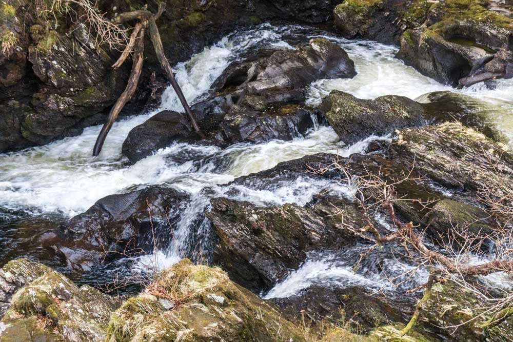
This walk takes you past the spectacular Arklet Falls. The stunning panoramic views over Loch Lomond at the top of the hill are well worth the steep climb. Walk a little further along The Great Trossachs Path to explore the RSPB Scotland Visitor Gateway at the Garrison car park.
Statute Labour Road
18 km*/full day/Aberfoyle
Passing by the tranquil shores of Loch Chon and Loch Ard, this longer route through mature conifer woodlands connects Aberfoyle to Stronachlachar.
Walking around the Trossachs
Loch Katrine North Shore Road (T)
20 km/full day/Trossachs Pier car park
This walk shows you the best that The Great Trossachs Forest has to offer from ancient woodlands and tranquil loch shores to special historical sites. You can take the boat to Stronachlachar before beginning your adventure along the north shore. Please note this is also a private road and shared with light traffic.
Creag Noran Viewpoint
3.4 km*/1 hour 45 mins/Trossachs Pier car park
Follow this short loop walk for great views along Loch Achray – a great photo opportunity from the rocky outcrop.
Ben A’an Hill Path
5 km/2 hours/Ben A’an car park
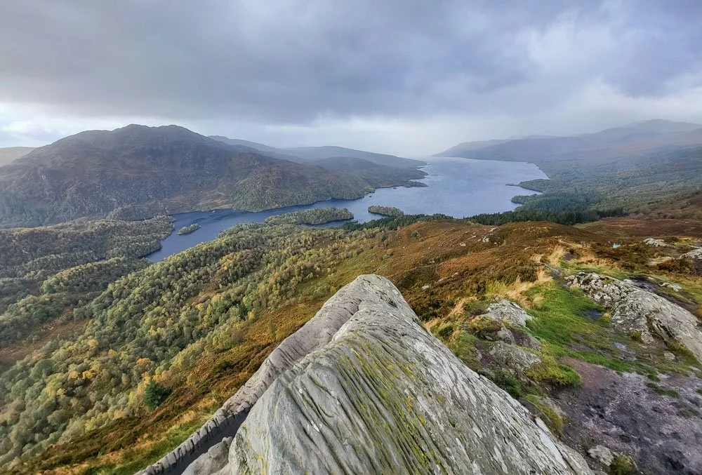
Well worth the short, but steep hike to enjoy the wonderful views over Loch Katrine at the top. A good all year round hike.
Loch Achray Loop
1 km/30 mins/Three Lochs Forest Drive
This short loop passes through conifer woodland and offers lovely views of The Great Trossachs Forest over Loch Achray.
Brenachoile Point (T)
3-4 km*/1 hour 45 mins/Trossachs Pier car park
The perfect walk for a great day out. An easy low-level route on tarmac with spectacular loch and mountain views, ending at a great spot for a picnic. Learn about Loch Katrine’s fascinating history along the way.
Primrose Hill
10 km/4 hours/Trossachs Pier car park
Experience a forest in the making as you walk this circular trail. A steep climb from The Great Trossachs Path leads to newly created woodland with wonderful views over Loch Katrine and the surrounding mountains.
Ben Venue Hill Path
14 km/full day/Ben Venue car park
This all day hike is a great way to get the blood pumping. Beyond conifer woodland, moorland and a rocky summit, a bird’s-eye view of The Great Trossachs Forest awaits.
Walking Around Brig o’ Turk
Little Druim Wood (Natural Play and Sculpture Trail)
1.5 km/30 mins/Lendrick Hill car park
Take the kids on a woodland adventure and discover the natural play features and sculptures along this trail. Suitable for all ages. In spring, bluebells carpet the woodland floor. Children’s activity leaflet accompanies the trail.
Ruskin Viewpoint
500 m*/45 mins/Dam Road car park
This short all ability walk leads you to the place where Ruskin was famously painted by Millais in 1853. Continue further along for spectacular views of Glen Finglas from the top of the Brig o’ Turk dam.
The Meall
24 km/full day/Lendrick Hill car park
This challenging hike takes in the open and remote landscape of Glen Meann. This contrasts beautifully with an afternoon descent into Glen Finglas through ancient woodlands and along tranquil river and reservoir.
Low Lendrick Loop
2.5 km/1 hour/Lendrick Hill car park
The steep path takes you through newly regenerating woodland and the top section allows you to soak up superb views of the whole of the Trossachs as you walk.
Drippan Loop
900 m/30 mins/Lendrick Hill car park
This short but rewarding walk has it all - great views, history, and wildlife. In spring the bluebells are spectacular and views to Loch Venachar are stunning in all seasons.
Brig o’ Turk Loop
3 km/90 mins/Lendrick Hill car park
There is so much to see on this easy low-level walk. Look out for dragonflies in the summer as you cross the boardwalk, autumn colours in the woods and the historic village of Brig o’ Turk is lovely at any time of year.
Stuc Odhar
10 km/4 hours/Lendrick Hill car park
A fantastic half day hike towards the summit of Stuc Odhar, with impressive views of Glen Finglas during the descent. Most of this route follows an informal track.
Walking Around Kilmahog
Loch Venachar North Path (T)
9 km*/3 hours/Bochastle car park
This section of The Great Trossachs Path is a lovely hillside walk with Loch Venachar visible for the whole of the route. Crossing beautiful Milton burn is a particular highlight. The walk can be extended by returning along the south of Loch Venachar via National Cycle Network (NCN) 7 (20 km loop).
Dunmore Fort
2 km*/1 hour/Bochastle car park
This grassy track spurs off The Great Trossachs Path and leads up to the historical site of an Iron Age Fort where you can still see the banks and ditches.
Ben Ledi Hill Path
7.6 km/full day/Ben Ledi car park
Being the highest summit in the Trossachs, the hike to the top of Ben Ledi offers stunning panoramic views.
Samson’s Stone
2 km/50 mins/Bochastle car park
This circular walk leads you up a grassy track to great views over Callander. You can’t miss Samson’s Stone at the top. Was it left by a giant or by glaciation?


